


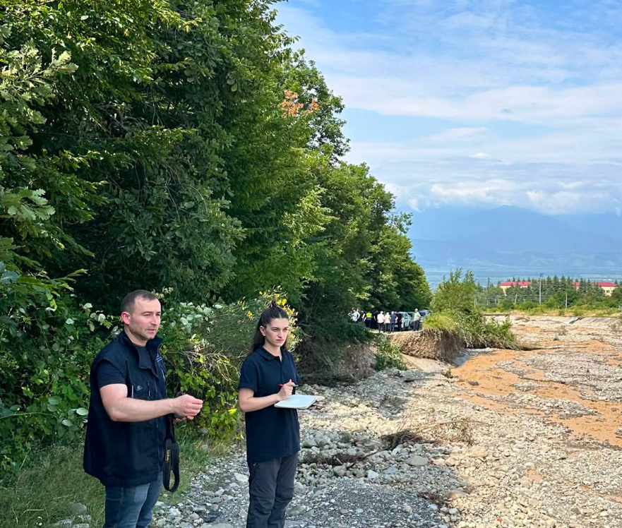
Georgia’s National Environmental Agency stated that, according to preliminary information, the disaster in Telavi was caused by heavy rains, which triggered a sharp intensification of mudflow processes in the Telaviskhivi River basin. To assess the impact of the disaster, the agency’s geologists and hydrologists have been working on-site since the morning of July 12.
At dawn on July 12, following a heavy downpour, the Telaviskhivi River overflowed its banks, and a mudflow flooded several city streets. Telavi received 57.3 mm of precipitation—equivalent to 85% of the monthly norm. The Ikalto station recorded 40.1 mm of rainfall.
The powerful mudflow was formed due to a large volume of water and displaced rocks, stones, and wood. Three structures in the middle reaches of the river (the so-called “Herkheulidze structures”) partially contained the flow. The first almost completely trapped large trees, the second held back some of the wood, and the third stopped stones and gravel.
However, the force of the flow was sufficient to bypass all three structures on the left side: the mudflow traveled along an old dirt road, damaged riverbank reinforcement structures, and deformed the road surface in some areas.
Within the city limits, the riverbed could not fully accommodate the flow, causing the mudflow to overflow and flood adjacent areas. The bulk of the mudflow debris accumulated in the lower part of Telavi, near several infrastructure facilities.
Experts from Georgia’s National Environmental Agency continue to work on-site, conducting a detailed assessment of the disaster zone.